

KMSC
Kings Mountain, Blacksburg, SC, USA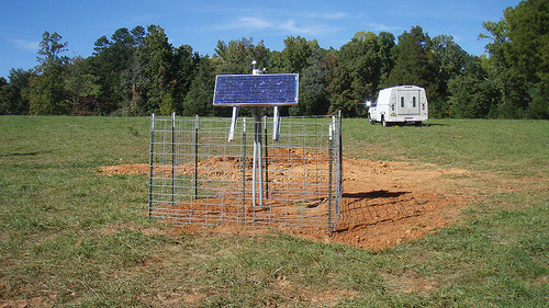
The USArray component of the NSF-funded EarthScope project ended its observational period in September 2021 and all remaining close-out tasks concluded in March 2022. Hundreds of seismic stations were transferred to other operators and continue to collect scientific observations. This USArray.org website is now in an archival state and will no longer be updated. To learn more about this project and the science it continues to enable, please view publications here: http://usarray.org/researchers/pubs and citations of the Transportable Array network DOI 10.7914/SN/TA.
To further advance geophysics support for the geophysics community, UNAVCO and IRIS are merging. The merged organization will be called EarthScope Consortium. As our science becomes more convergent, there is benefit to examining how we can support research and education as a single organization to conduct and advance cutting-edge geophysics. See our Joining Forces website for more information. The site earthscope.org will soon host the new EarthScope Consortium website.

 The Utah Mine Collapse
When a mine collapsed in Utah, 400 seismometers in the region were recording...
TOPICS: Focal mechanisms, P wave first motions, data modeling
MORE INFORMATION: Berkeley Moment Tensor Report
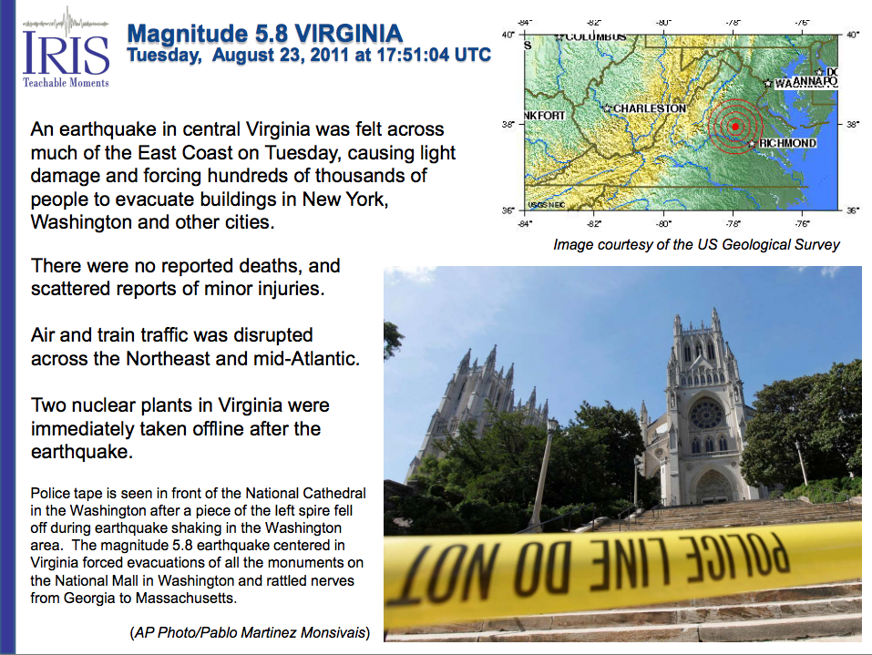 The 23 August 2011 M5.8 Mineral, VA earthqake
A magnitude 5.8 earthquake occurred near the nation's capitol.
TOPICS: Central and Eastern United States, record sections, source mechanism, strainmeter data, horizontal displacement
MORE INFORMATION: Watch the USArray Earthquake Wave Visualization of this earthquake on the IRIS website.
Charles Ammon, a professor at Penn State University, has developed animations of real data showing how seismic waves sweep the transportable array of seismometers. Watch how earthquake waves originating from the US and around the world cause the ground at each seismometer to slightly shift up and down.
TOPICS: wavefronts, three-component seismograms, great-circle direction, ground displacements
 Seismic Tomography Animations
View how researchers use seismic waves to image earth's interior.
TOPICS: tomography
MORE INFORMATION: Introductory description of how seismic tomography is used to determine Earth structure (3.5 MB PDF)
For more earth science publications, activities, professional development, internships, animations, museum displays, free software and more, visit EarthScope Education and Outreach and IRIS Education and Outreach.

