

L04D
Klamath Falls, OR, USA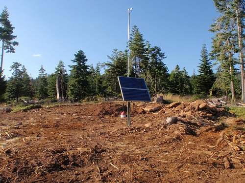
The USArray component of the NSF-funded EarthScope project ended its observational period in September 2021 and all remaining close-out tasks concluded in March 2022. Hundreds of seismic stations were transferred to other operators and continue to collect scientific observations. This USArray.org website is now in an archival state and will no longer be updated. To learn more about this project and the science it continues to enable, please view publications here: http://usarray.org/researchers/pubs and citations of the Transportable Array network DOI 10.7914/SN/TA.
To further advance geophysics support for the geophysics community, UNAVCO and IRIS are merging. The merged organization will be called EarthScope Consortium. As our science becomes more convergent, there is benefit to examining how we can support research and education as a single organization to conduct and advance cutting-edge geophysics. See our Joining Forces website for more information. The site earthscope.org will soon host the new EarthScope Consortium website.

Transportable Array Stations - Interactive Map - Station List
Interactive map that shows all currently operating Transportable Array stations
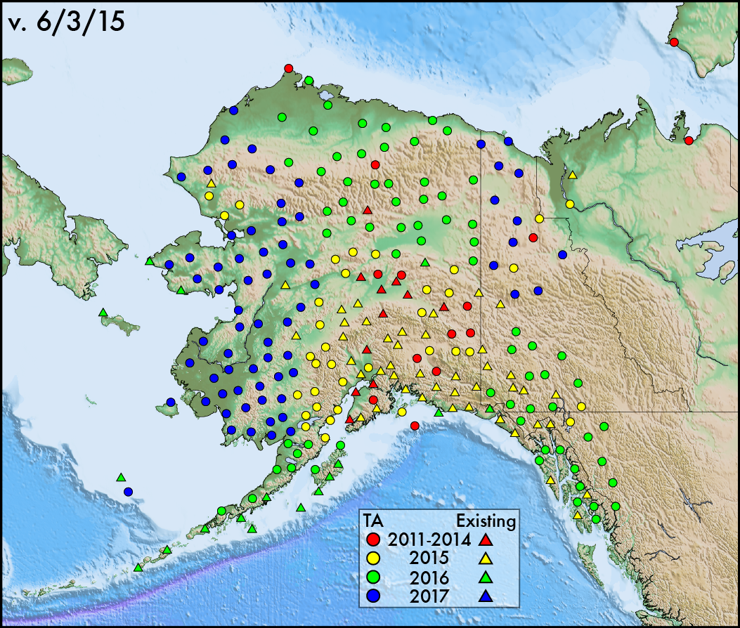
Alaska Transportable Array Stations - Interactive Map - Static Map
Interactive and static maps that show all currently and future operating Transportable Array stations in Alaska and adjacent Canada
Reference Network Stations - Interactive Map - Station List
Interactive map that shows all currently operating Reference Array stations
Flexible Array Stations - Interactive Map - Static Map - Station List
Interactive and static maps that show current and past Flexible Array deployments
Flexible Array Instrument Schedules - Schedules
Instrument schedules and basic descriptions provided by PASSCAL
Magnetotelluric Array Stations - Interactive Map - Static Map - Station List
Interactive and static maps that show Magnetotelluric Array stations
Transportable Array Transitioned Stations - Interactive Map - Static Map
Interactive and static maps that shows entire stations or vaults that have been adopted by other operators
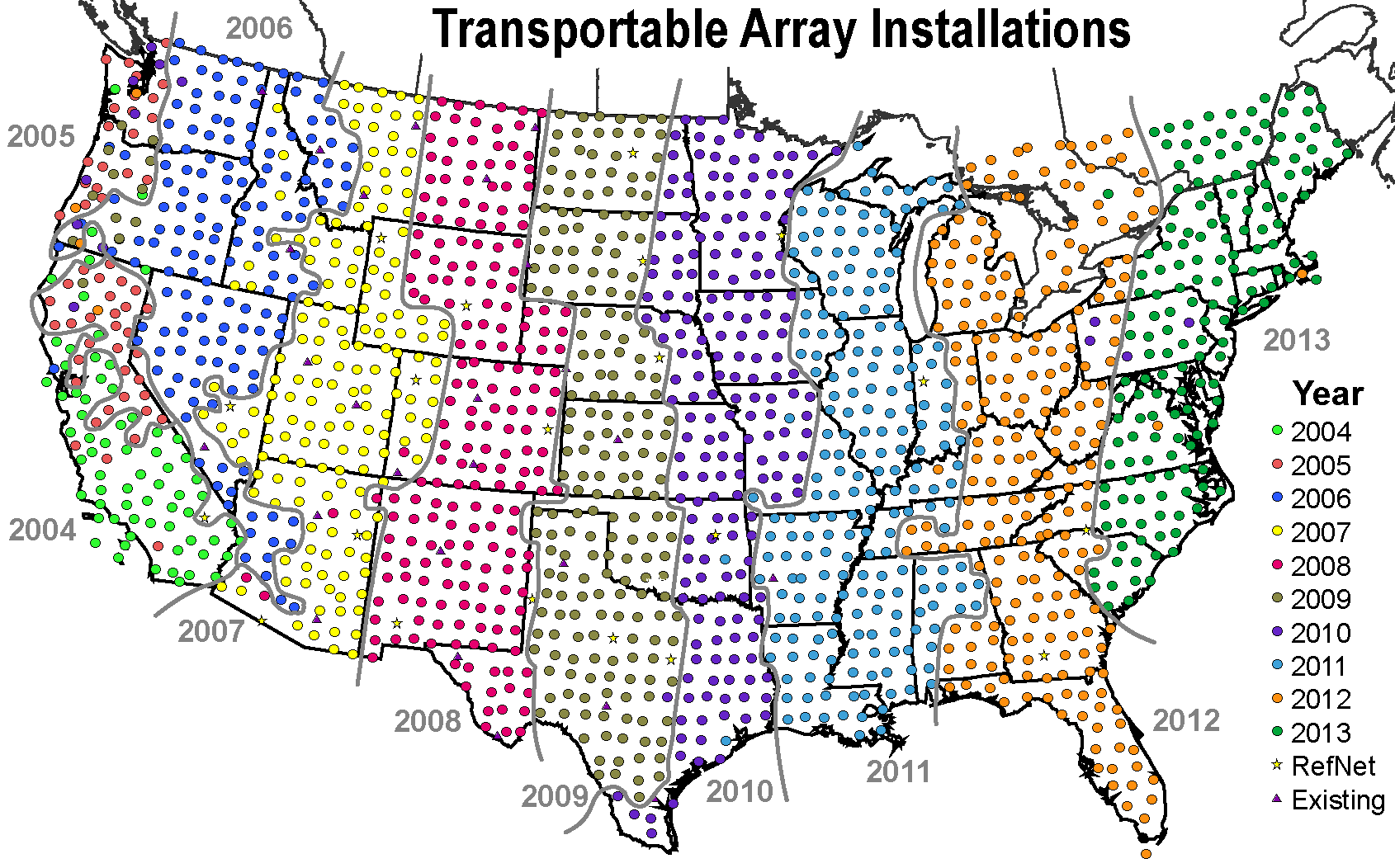
Transportable Array Installation Progress - Static Map
Static map that shows the Transportable Array deployment across the lower-48 colored by year
ANF Maps - Website
A variety of maps generated by the Array Network Facility

