

ABTX
Abilene, Hawley, TX, USA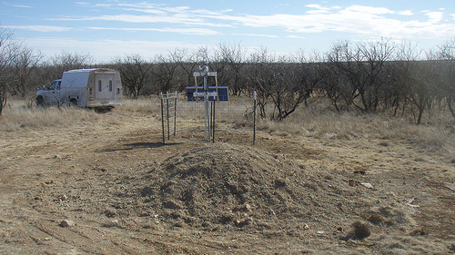
The USArray component of the NSF-funded EarthScope project ended its observational period in September 2021 and all remaining close-out tasks concluded in March 2022. Hundreds of seismic stations were transferred to other operators and continue to collect scientific observations. This USArray.org website is now in an archival state and will no longer be updated. To learn more about this project and the science it continues to enable, please view publications here: http://usarray.org/researchers/pubs and citations of the Transportable Array network DOI 10.7914/SN/TA.
To further advance geophysics support for the geophysics community, UNAVCO and IRIS are merging. The merged organization will be called EarthScope Consortium. As our science becomes more convergent, there is benefit to examining how we can support research and education as a single organization to conduct and advance cutting-edge geophysics. See our Joining Forces website for more information. The site earthscope.org will soon host the new EarthScope Consortium website.

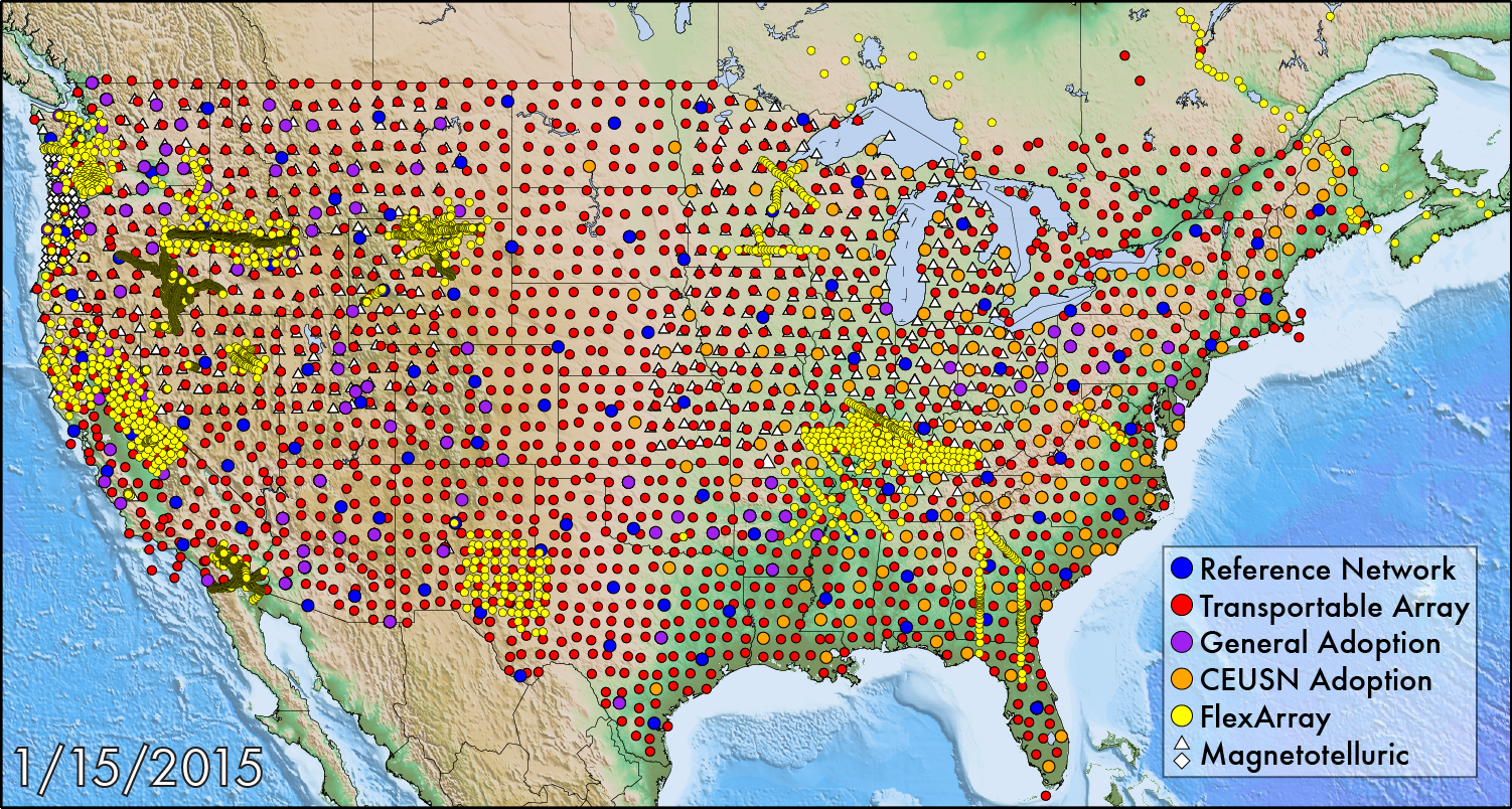
Between 2004 and 2013 the Transportable Array moved eastward across the contiguous U.S., with each station operating about 2 years, and is now being redeployed to Alaska. The spacing between each station is 70 km (~42 miles) for the lower-48 and 85 km for Alaska. Similarly the Magnetotelluric Array has been operating stations in similarly spaced footprints across the Pacific Northwest, Midwest, and Southeast. Flexible Array experiments have been distributed across the U.S. in a variety of different configurations. To find out where USArray stations are right now, navigate lists and maps available here.
Several factors affect where we construct and install Transportable Array stations. Some questions we ask are: Is the site accessible with two-wheel drive vehicles? Is the site near a busy road, railroad, or other sources of noise? Is the site likely to be subject to vandalism? Will the site have direct, unobstructed sunlight? Regarding when a station will be installed, we prefer to take advantage of a season where weather conditions will be optimal.
The instruments of the Flexible Array are deployed as prioritized through the peer review process of the scientific community. These transient arrays provide high-resolution, short-term observations of key geologic targets within the footprint of the larger Transportable Array. The Flexible Array uses high-density sensor spacing and both natural and artificial sources of seismic energy.


