

121A
Cookes Peak, Deming, NM, USA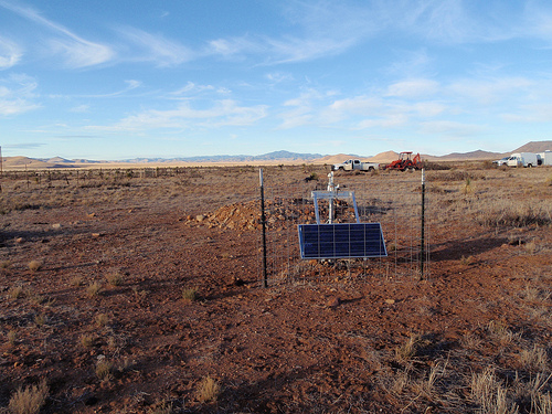
The USArray component of the NSF-funded EarthScope project ended its observational period in September 2021 and all remaining close-out tasks concluded in March 2022. Hundreds of seismic stations were transferred to other operators and continue to collect scientific observations. This USArray.org website is now in an archival state and will no longer be updated. To learn more about this project and the science it continues to enable, please view publications here: http://usarray.org/researchers/pubs and citations of the Transportable Array network DOI 10.7914/SN/TA.
To further advance geophysics support for the geophysics community, UNAVCO and IRIS are merging. The merged organization will be called EarthScope Consortium. As our science becomes more convergent, there is benefit to examining how we can support research and education as a single organization to conduct and advance cutting-edge geophysics. See our Joining Forces website for more information. The site earthscope.org will soon host the new EarthScope Consortium website.

Principal Investigators and Institutions:
James Conder, Southern Illinois University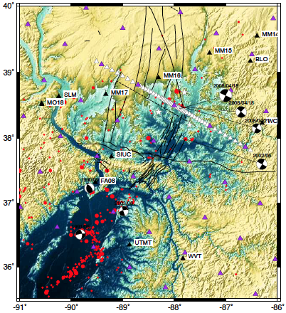
Lupei Zhu, Saint Louis University
Funding Source:
NSF EarthScope
Field Dates:
8/2013 – 5/2016 (tentative)
Equipment Used:
43 broadband and 25 short-period sensors
Data Status:
387 GB archived
Network Code:
6E
Description:
Researchers from Southern Illinois University (SIU) and Saint Louis University (SLU) are deploying 43 broadband seismographs and three short-period seismic arrays in the Wabash Valley in Illinois and Indiana. The experiment is part of the on-going EarthScope project and is aimed at better understanding the driving forces of the Wabash Valley Seismic Zone (WVSZ) such as regional lithospheric stresses exploiting a weak zone, glacial isostatic adjustment, and lithospheric basal tractions induced by mantle dynamics. By applying a variety of seismic techniques including body wave and surface wave tomography, receiver functions, shear-wave splitting, and mapping of background crustal seismicity, this seismic experiment will illuminate the seismic structure beneath the study area and impose valuable constraints on driving mechanism for this geologically enigmatic feature as well as further our understanding of intraplate earthquakes.
This project directly advances the Earthscope mission to advance our understanding of intraplate seismic zone dynamics and to improve seismic hazard assessments in the midcontinent. It allows for more quantitative comparisons between the WVSZ and the New Madrid Seismic Zone to its south. It furthers the education of a PhD student at SIU and one at SLU as well as sponsors undergraduate research at both institutions. The students are involved in a number of different aspects of the research from the fieldwork comprising station installation, servicing, and data collection to data analysis and interpretation. These students learn a number of seismic analytical methods that point them towards further research and study within the framework of EarthScope and other cutting-edge scientific initiatives. The PIs of the project work with science teachers at several high schools located in the study area. Two seismographs are located on school property, with display for students to view real-time seismic data and provide access to educational resources from Earthscope.
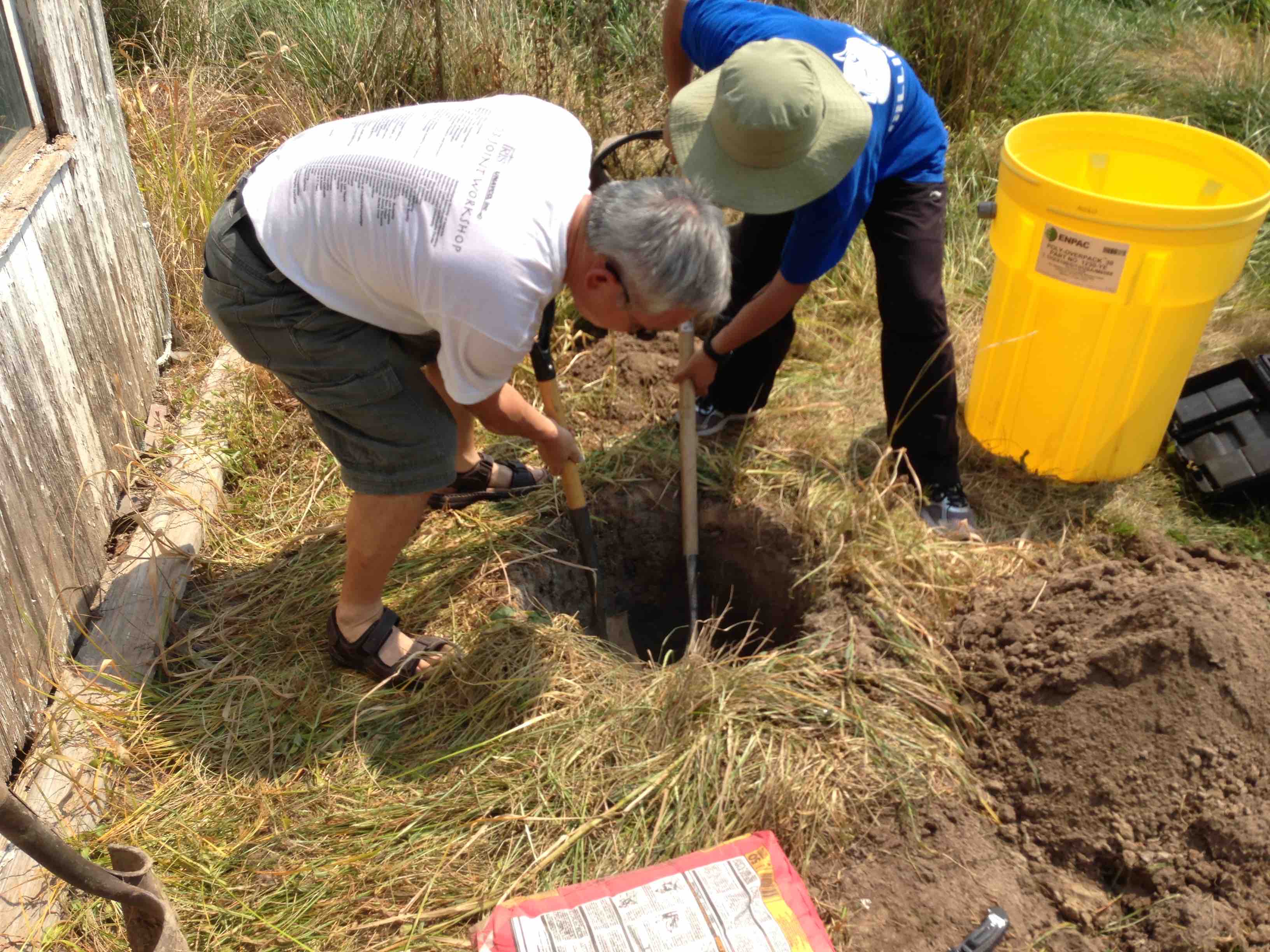
The first step of site installation: digging
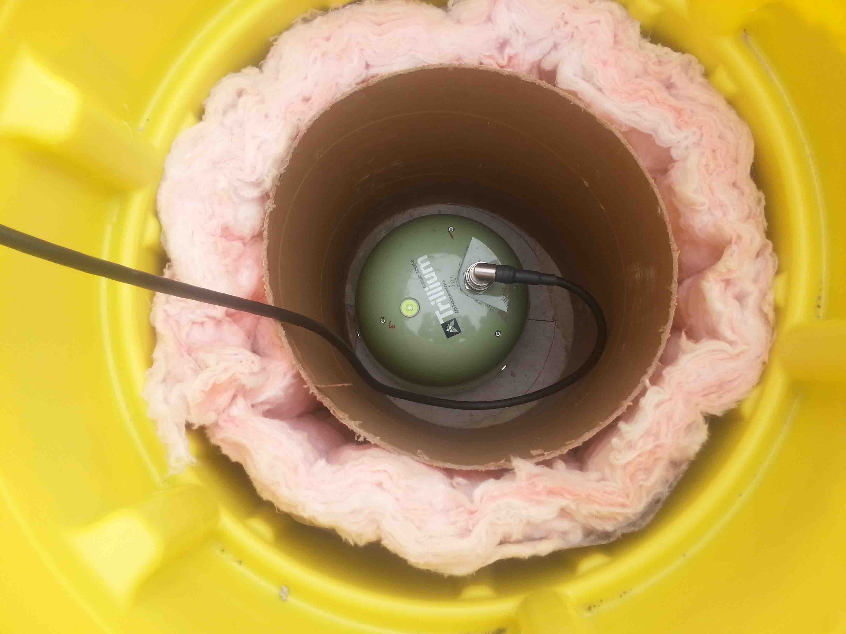
View of the seismic sensor in the vault
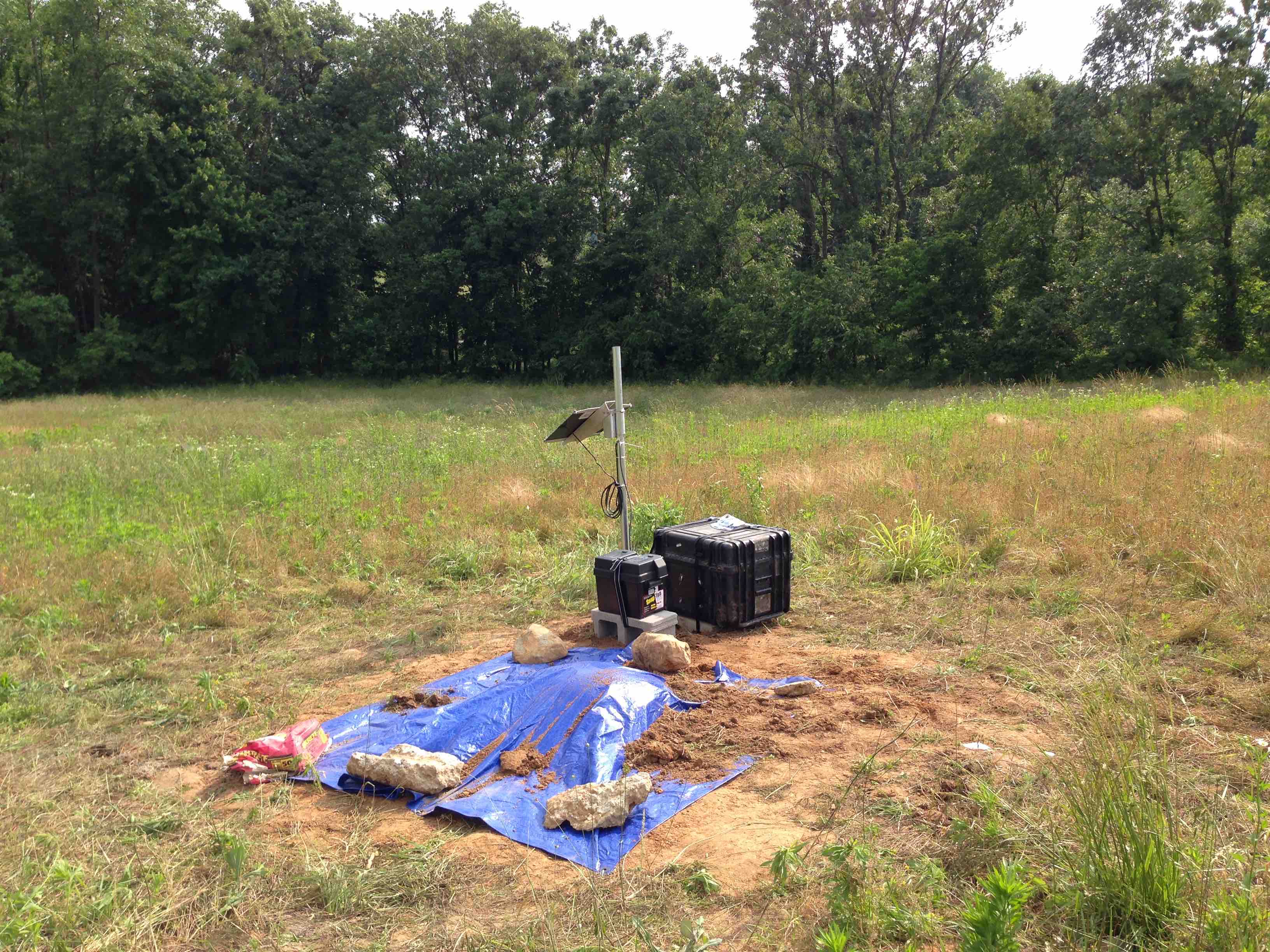
A completed station
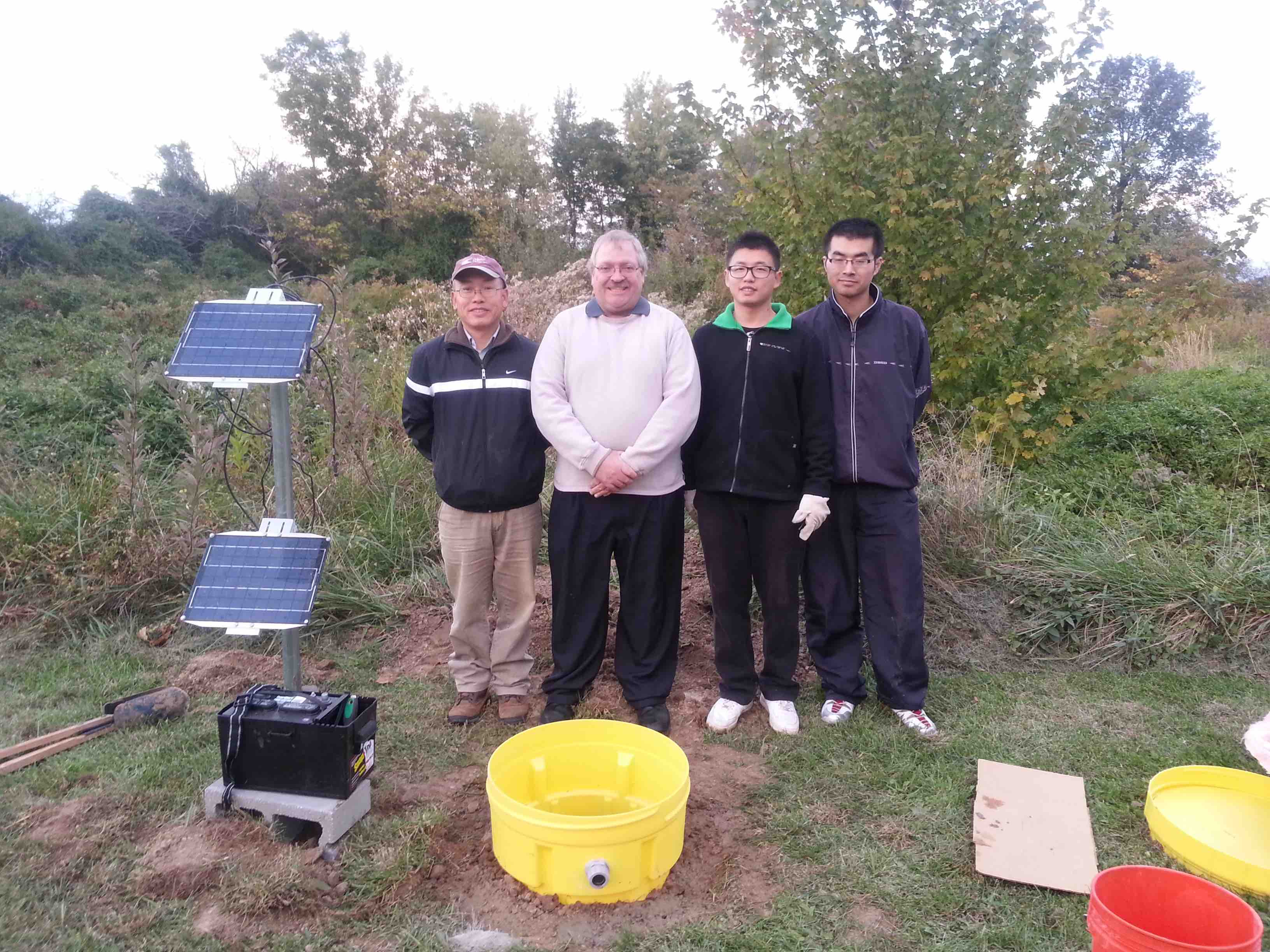
Field crew

